Which Way is North?
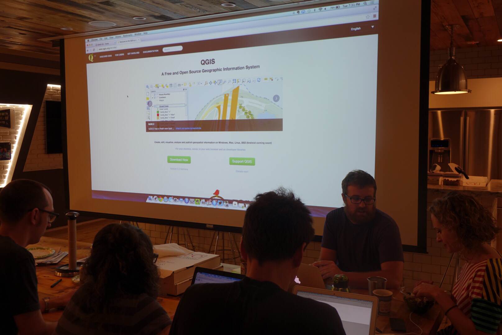
Last night we had a smaller group turn up for another hack night at Maptime NYC. A few notable projects had to do with mapping bird collisions with buildings in Manhattan, locations of plastic bags using Instagram and the hashtag #bagitnyc, as well as analyzing CitiBike data to determine likely areas of “salmoning” (when cyclists ride against traffic on a one way street). The remainder of the folks listened to an introduction of open-source geospatial tools by Ivan Willig, a former GIS analyst turned programmer.
Some Photos!