Collaborative Cartography Night-FixWikiMaps
Check here to take a look at the workshop and nab resources for fixing some wikimaps with us.
Return of the Creature from Null Island
Hi! We didn’t really document a lot of things this summer. Which is too bad since those were the Maptimes where we learned a bunch about time travel and stuff. ¯_(ツ)_/¯ Sorry.
We’ve been trying this cool new thing with our Maptime structure where we start the evening with a short introductory tutorial through a specific tool, followed by breakouts to work on other projects or continue with the tutorial.( Last week Andrew from CartoDB did one, and it was great). This week we were lucky to have Derek Watkins doing a talk on D3. Given how easily D3 lends itself to complexity, this talk was mostly going over how D3 works in general and how it handles geospatial data (with an aside into the difference between topoJSON and geoJSON).
Some other projects that were discussed included:
-
Making a better subway shapefile. Basically, all New York GIS nerds seem to end up using the same subway shapefile made by Steve “Basically The Greatest Person In the NYC Open Data Community” Romulewski. In the shapefile, the subway lines tend to overlap in places where train lines run the same route. While that’s spatially accurate, it’s not great at showing all the different lines at once (which you probably want to know when you’re, say, trying go get transit directions). So there’s a group of people who want to work on this problem so we’re not all re-rendering the same shapefile by hand. More soon, we hope!
-
We had a problem that seems like it should be easy to solve but somehow totally blew our minds. Martin is an artist working on a project where he walks the perimeters of islands. He wants to also walk the longest and widest distances of islands. Figuring out the longest distance between two points in Manhattan shouldn’t be complicated, right? How ahs this not already been StackExchanged? It hasn’t. Toward the end of the evening we realized that a routing tool rather than weird PostGIS calculations, might be the easiest way to do this.
Resources
- Will add Derek’s talk materials once they’re online.
- In the meantime here’s a really great D3 tutorial book that Derek and JD recommended.
- Also it’s always useful to look at Mike “The Guy Who Created D3” Bostock’s example blocks.
Even Moar D3 Tutorial Stuff And here are some resources from a July MaptimeSF that might be helpful.
- presentation
- d3 geo api tutorial (view source to see complete code)
- sample data in topojson format
- general d3 stuff
Which Way is North?
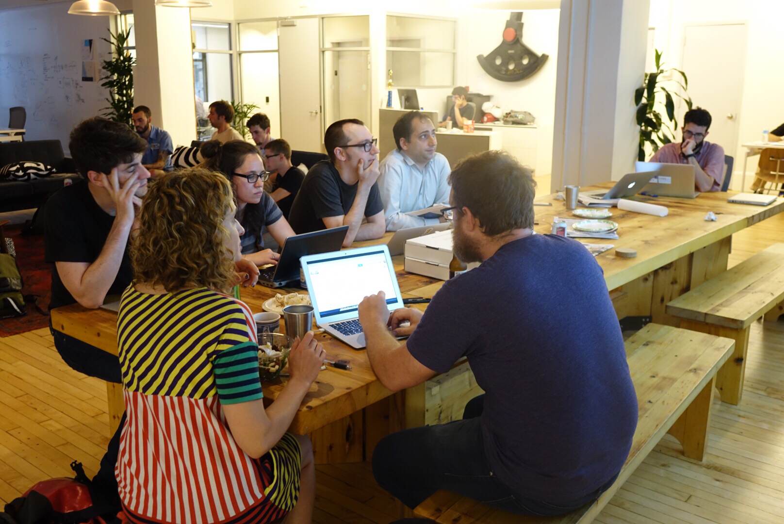
Last night we had a smaller group turn up for another hack night at Maptime NYC. A few notable projects had to do with mapping bird collisions with buildings in Manhattan, locations of plastic bags using Instagram and the hashtag #bagitnyc, as well as analyzing CitiBike data to determine likely areas of “salmoning” (when cyclists ride against traffic on a one way street). The remainder of the folks listened to an introduction of open-source geospatial tools by Ivan Willig, a former GIS analyst turned programmer.
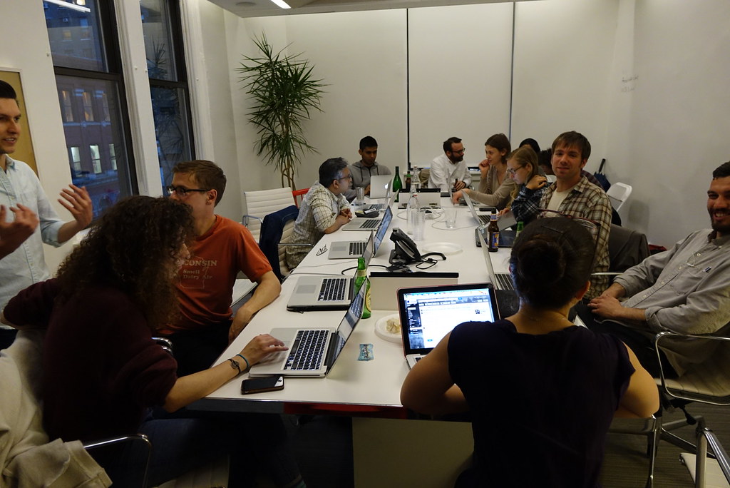
Some Photos!

It's All About You (Hack Night) at Mapzen
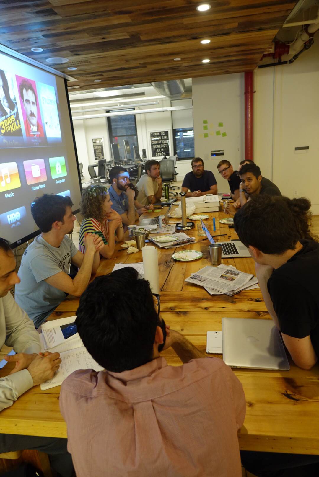
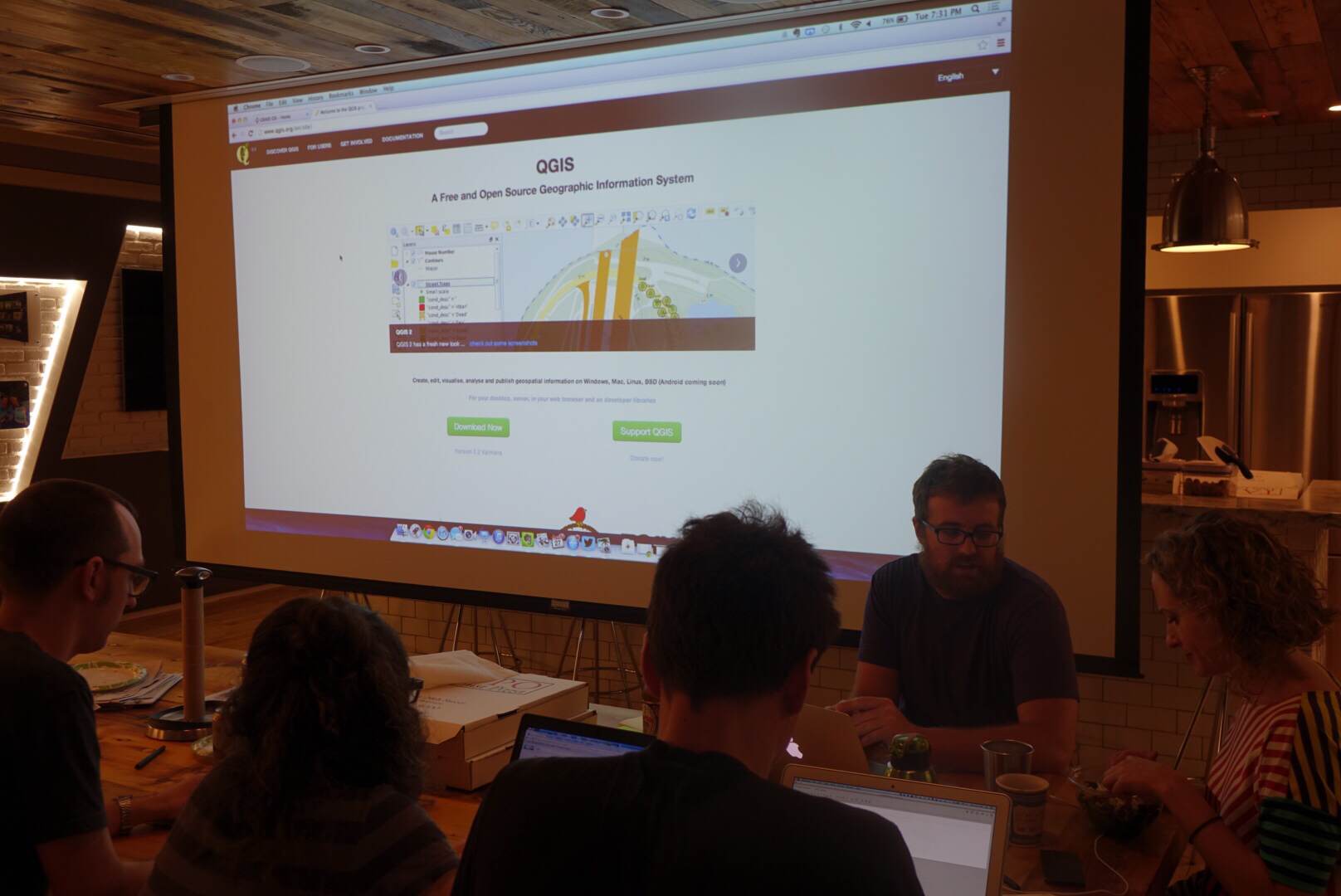
We had a terrific turn out for last night’s Maptime-NYC: 18 mappers came out to either hack on their personal projects, help out others or just learn a new thing or two about mapping and geo. The space and atmosphere provided by Mapzen was absolutely terrific. Special thanks to Dan for prepping the room for us and to Harish and Randy for hanging out with us to assist other mappers.
There was a wide range of topics that people came to learn about or hack on including:
- D3 JS
- Spatial Analysis
- Georeferencing and tiling historical maps
- Geocoding with open-data
- Leaflet JS
- QGIS
- CartoDB
A few notable projects had to do with proportionally mapping the area of Israeli settlements in Jerusalem to fictional settlements in the area of Washington D.C.; performing a suitability-analysis of potential areas for fracking in New York state based on locations of existing fracking wells in Pennsylvania; looking at library usage data by zipcode in San Antonio, Texas; and thematically mapping types of historical buildings in NYC using building data from NYC PLUTO data.
Take Aways For Next Time
It seems we had a good amount of questions on spatial analysis with QGIS. This is one area where our current organizers lack a lot of experience. If you have any interest in helping out in this area for a future Maptime-NYC meetup please contact us!
Photos!
To see them all check out our Maptime-NYC Flickr group. Thanks Jeff for taking them!


March Meetup
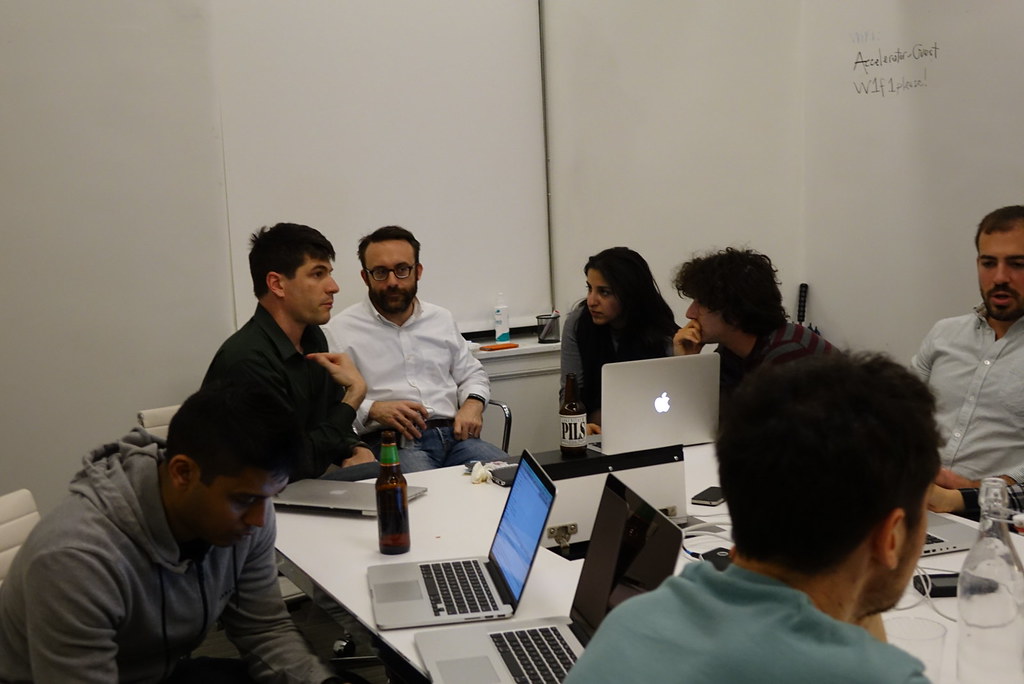
Great turn out for the March meetup at We Work!
Things we talked about:
Summary:
Presentation on Samsung’s new geocoder Pelias by
John Crepezzi @seejohnrun
- the name is Pelias: “The Search Based Reverse-Geocoder”
- it’s open source & built on open data
- built autonomously from Samsung
- nice quote: “value is moving up the stack” by Ev Williams. As technology moves up the stack (becomes open-source) value becomes more important
- Pelias is built on open data: Quattroshapes (boundaries), Geonames (indexes with alternative names, including informal names), WOE (where on earth, yahoo, similar to genomes), OSM (poi data)
- technology: ElasticSearch, Redis, PostGIS
- communities: GitHub and GeoNYC
- 440 GB geo-index for the whole planetGeocoding. ie: where’s a thing?
- reverse geocoding. ie: what’s at this location?
- address search
- POI search
- geographic feature search
- works really well in NYC! (because data is open and imported into OSM)
- returns GeoJSON
Google / Open Refine Demo
- see Open Refine / Google Refine
- we used NYC collision data from NYPD.OpenScrape.com
and bike route data from NYC DOT - crash data can be downloaded here
- bike route data can be downloaded here
For Next Time
- Let’s find out how many cyclists were killed or injured in bike lanes using CartoDB (or some other way if you choose). Then you can riff on that data any way you’d like.